welcome to allegheny surveys, inc.
Serving the Allegheny Region since 1988
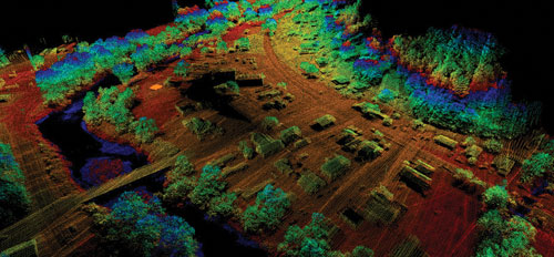
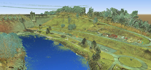
Allegheny Surveys, Inc. is a land-surveying firm that provides the Allegheny Region with Professional Surveying services, including Natural Resource, Construction, Real Estate, Flood Hazard, GNSS, and 3D Laser Scanning Surveys, as well as UAV LiDAR & Mobile Mapping, 3D CAD Modeling, Underground Utility Location, and Training Services.


