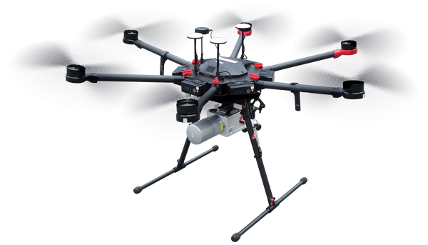
uav lidar and mobile mapping


Using UAV LiDAR and Mobile Scanning systems, Allegheny Surveys offers new and efficient ways to collect 3D Laser Scan data for producing survey maps of large areas and difficult-to-access areas in a short amount of time. Results are much faster and more cost effective.


©2020 Allegheny Surveys, Inc. All Rights Reserved
employment brochure site map privacy policy
![]()